
Case study
StreetComplete Mobile App
StreetComplete is a community-driven mobile application designed to make contributing to OpenStreetMap simple, fun, and accessible for everyone. The app transforms traditional map editing into an intuitive question-based experience, allowing users to improve local map data by answering simple real-world questions. By combining accessibility, gamification, and community participation, StreetComplete helps create more accurate and complete maps for users worldwide.
The challenge
Problem statement
Traditional map editing platforms often require technical knowledge, advanced tools, and experience with geographic information systems (GIS), making it difficult for everyday users to contribute. Many people want to improve local map information but are discouraged by complex editing processes. The challenge was to create a simple and engaging mobile experience where anyone could contribute useful map data without technical expertise. The goal was to make map improvement accessible, enjoyable, and valuable while maintaining accurate and reliable information for the OpenStreetMap community.
The work
Our proposed solution
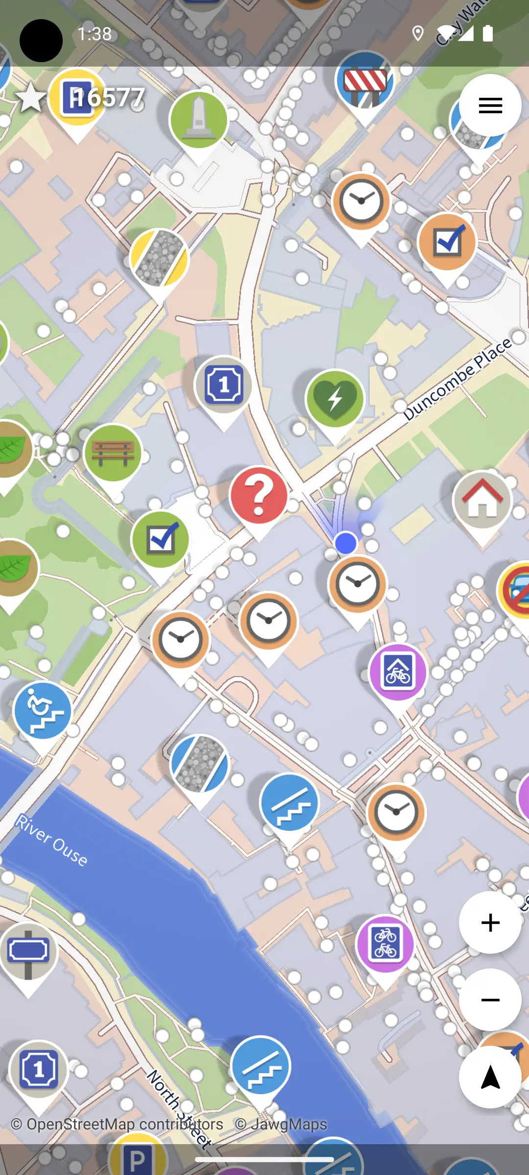
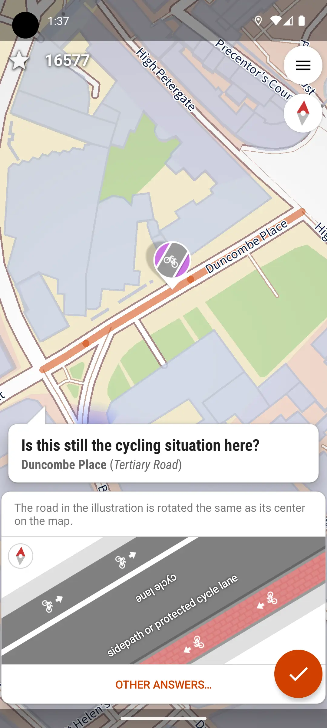
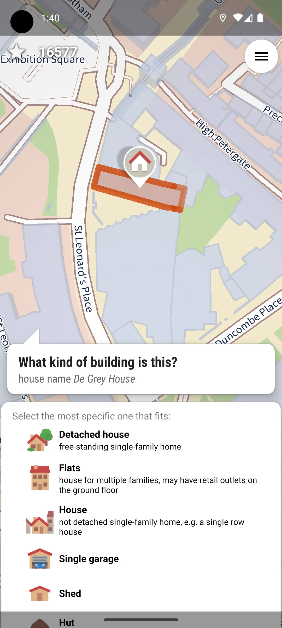
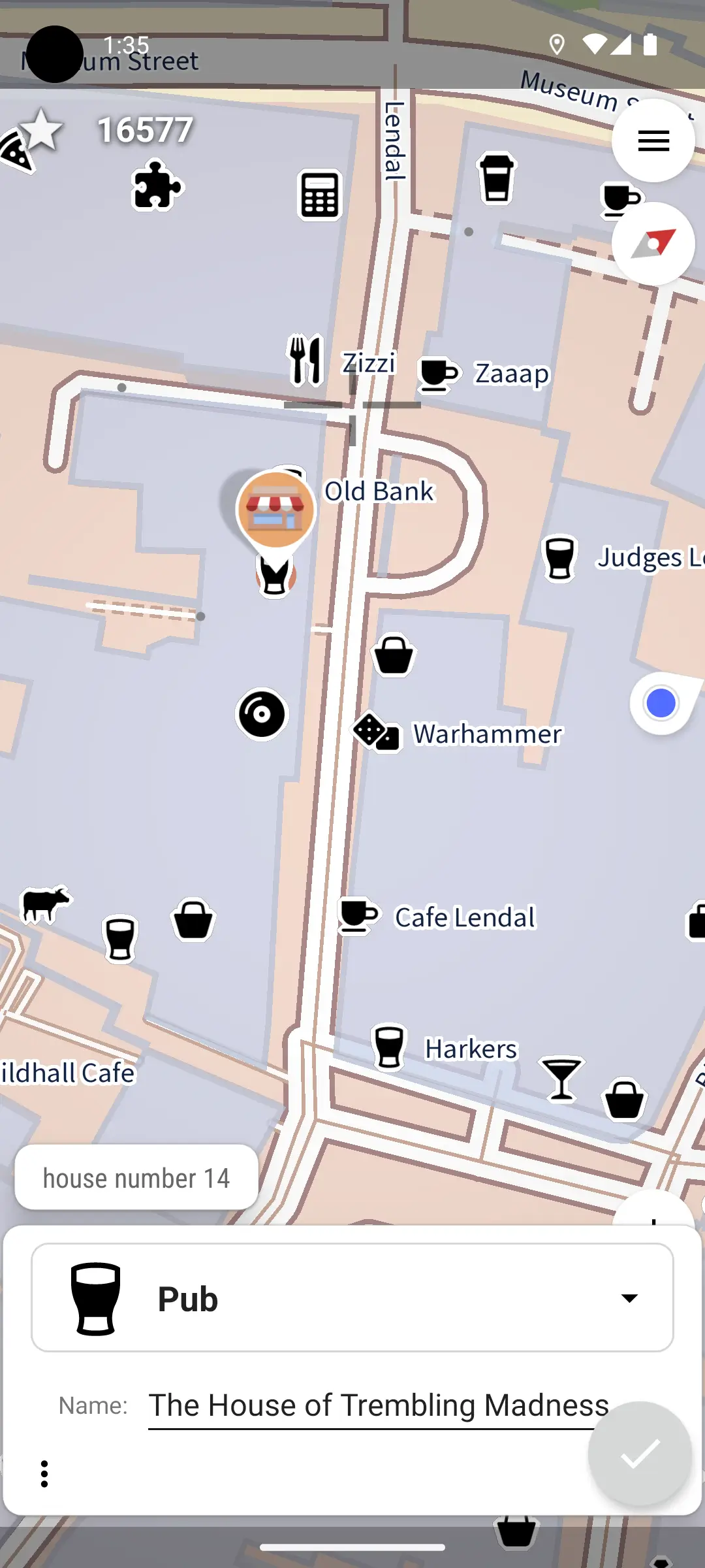
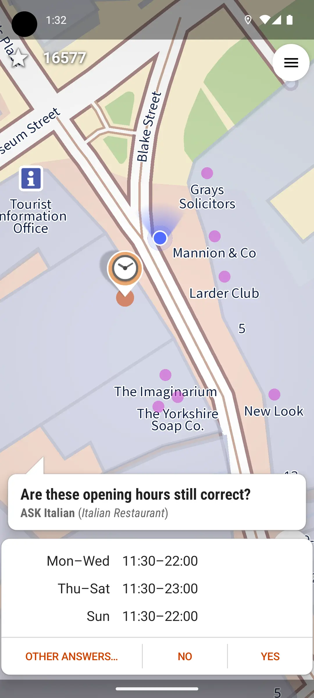
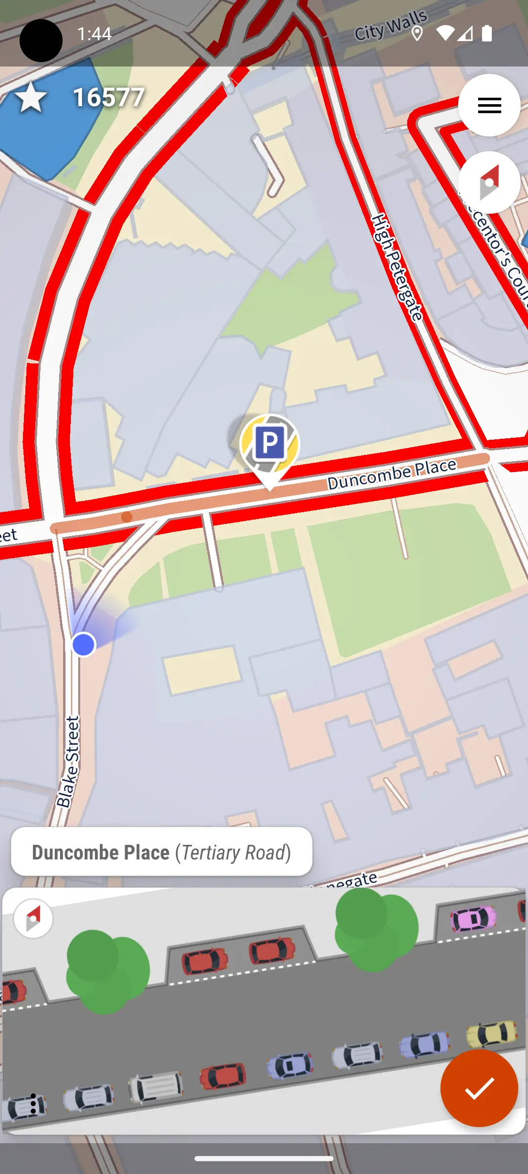
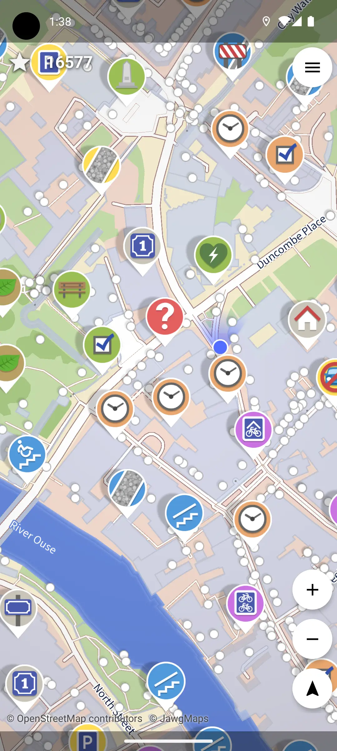
We helped deliver a mobile-first mapping experience that simplifies OpenStreetMap contributions through an easy question-based workflow. Instead of complicated editing tools, users receive nearby tasks such as adding road names, confirming amenities, or updating location details. The platform combines real-world usefulness with a lightweight gamified experience, encouraging users to contribute regularly. With offline support, direct OpenStreetMap integration, and simple task-based interactions, StreetComplete enables people everywhere to actively participate in building better digital maps.
The outcome
Conclusion
StreetComplete successfully transforms map editing into a simple, community-driven experience. By removing technical barriers and introducing an intuitive contribution system, the platform allows anyone to improve OpenStreetMap data with ease. The result is an accessible mapping solution that increases global participation, strengthens open-source geographic information, and helps create more accurate maps for communities worldwide.
Inside the product
Real screens, real product
Keep exploring
More case studies
Sym8ry Mobile Training App
Sym8ry is a holistic mobile training app created by Coach Leigh Kettle, designed to help people move better, build stren…
Renovate AI Mobile App
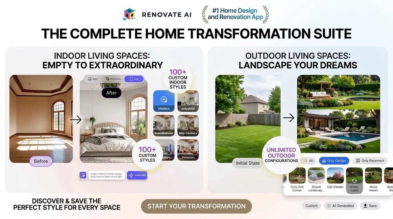
Renovate AI is an innovative AI-powered home design application created to transform the way people visualize and redesi…
Your project next
Let’s build something worth showing off.
Tell us what you’re building. We’ll reply within one business day.
Start a project →